Parker Schröder · 15 September 2026
Satellite Data Uncovers Unexpected Elm Habitats in Britain's Derelict Industrial Landscapes
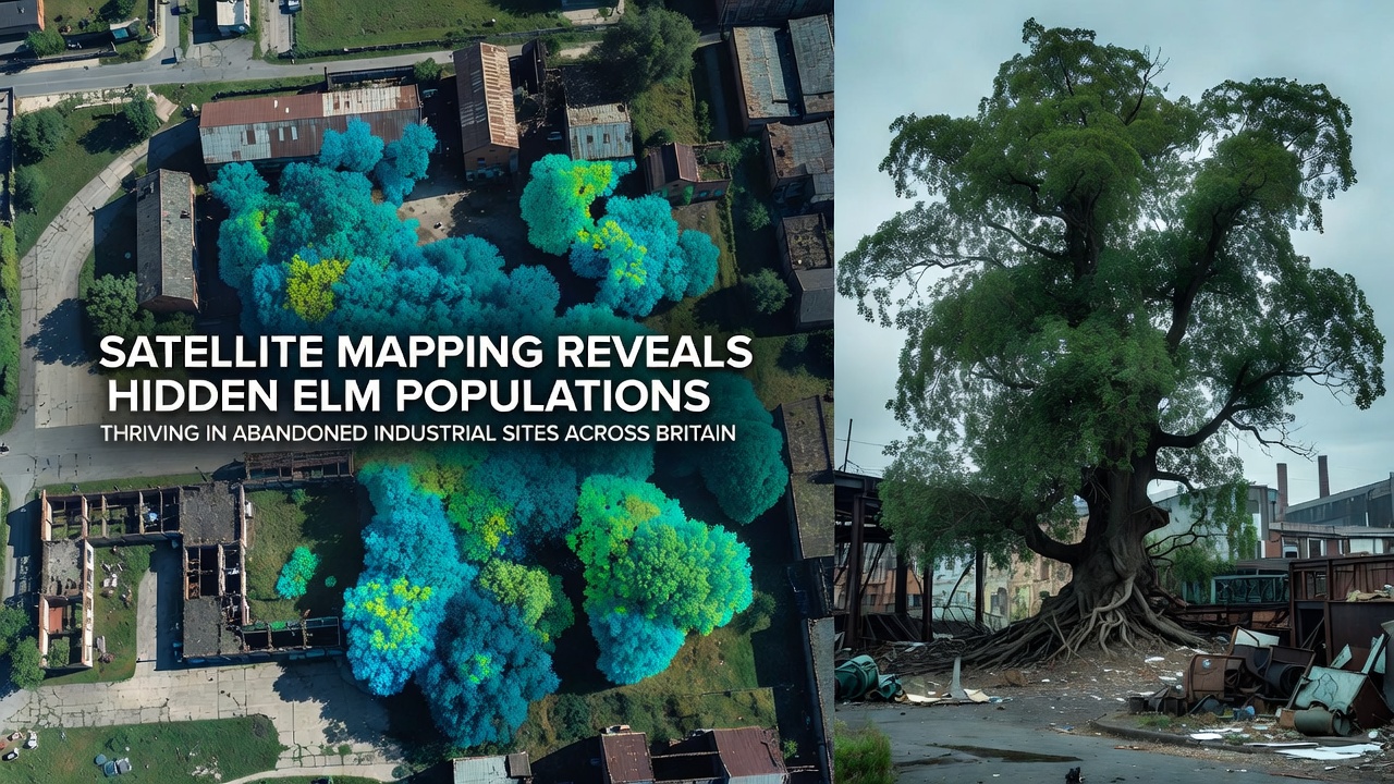
Researchers have applied high-resolution satellite imagery combined with multispectral analysis to identify previously undocumented populations of elm trees across former factories, rail yards, and mining operations in Britain, and these surveys indicate that the trees have established self-sustaining stands in locations long considered unsuitable for native woodland. The mapping effort draws on data from multiple orbital platforms and ground-truth verification at dozens of sites, revealing that elms occupy microhabitats created by cracked concrete, spoil heaps, and drainage ditches where soil conditions allow root development despite surface contamination.
Teams from several universities coordinated the project, which began with automated classification algorithms trained on known elm stands and then expanded to scan brownfield registers maintained by local authorities. Results show clusters of Ulmus procera and Ulmus glabra concentrated in the Midlands and northern England, with smaller but viable groups appearing in south Wales and the Scottish central belt. Many of these stands escaped earlier Dutch elm disease outbreaks because they remained isolated from traditional hedgerow networks that facilitated disease spread in rural areas.
Mapping Techniques and Verification Process
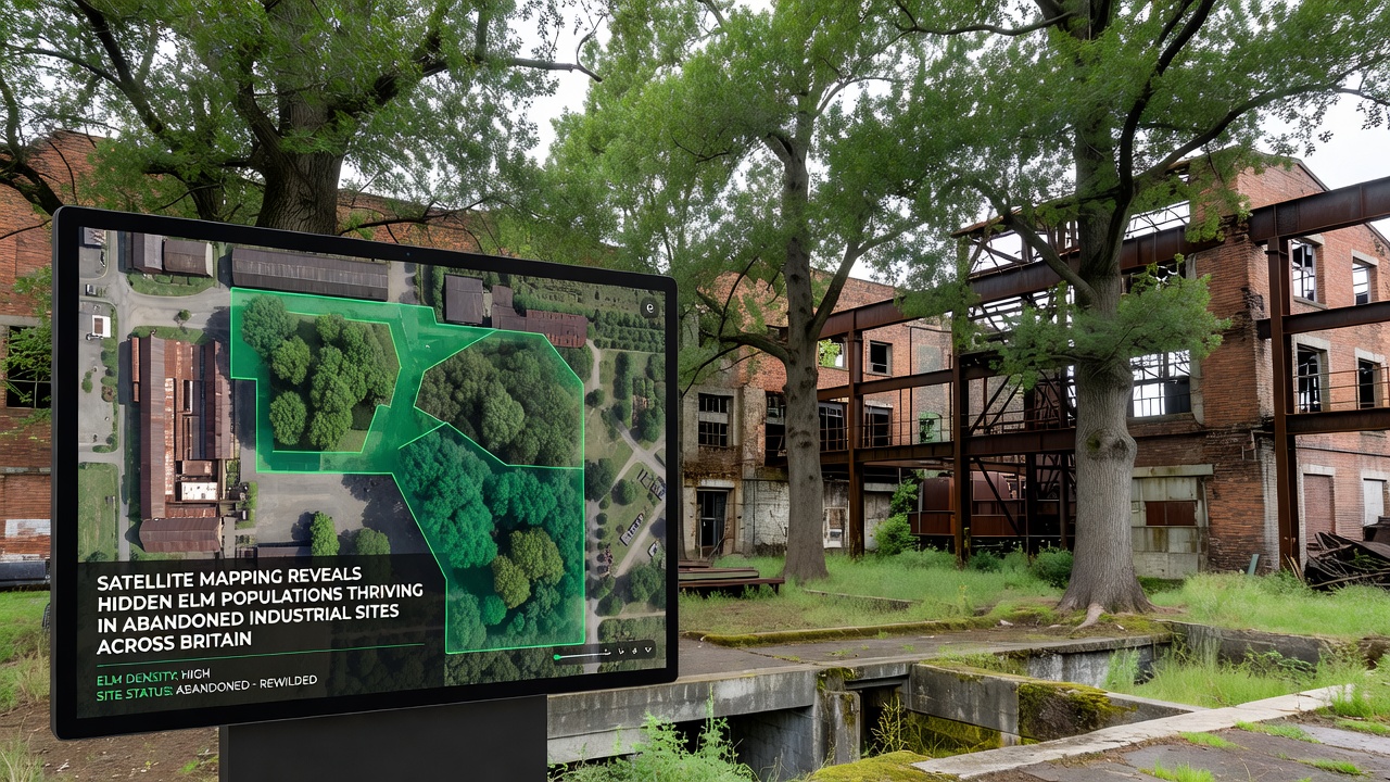
Analysts processed imagery captured between 2022 and 2025 using near-infrared and short-wave infrared bands that highlight chlorophyll absorption patterns characteristic of elm foliage, and they cross-referenced detections with historical Ordnance Survey maps to confirm that the trees occupy land parcels designated as industrial since the 1950s. Field teams then visited a stratified sample of 120 sites during the 2024 growing season, recording tree density, age structure, and signs of regeneration. Data from the European Environment Agency's urban atlas provided additional context on surrounding land cover changes that may have reduced competitive pressure from faster-growing species.
One verification campaign in Lancashire documented over 400 mature elms within a single 18-hectare former textile mill complex, where seedlings had colonised fissures in loading bays and along disused canal towpaths. Similar patterns emerged at a decommissioned steelworks near Scunthorpe and at several coal-processing facilities in the Durham coalfield. Researchers note that the alkaline residues left by industrial processes appear to favour elm over more acid-sensitive competitors, although heavy metal concentrations vary widely and require ongoing monitoring.
Ecological Context and Disease Resistance
Genetic sampling conducted alongside the mapping work indicates that many of the industrial-site elms belong to lineages that predate the major disease epidemics of the twentieth century, and these populations may carry alleles associated with partial tolerance. The isolation of the stands reduces the likelihood of beetle-vectored transmission, yet researchers caution that any future connectivity improvements could alter that advantage. Comparisons with reference collections held at the Royal Botanic Garden Edinburgh suggest that some individuals represent surviving fragments of regional provenances once common in lowland Britain.
Additional surveys scheduled to begin in September 2026 will incorporate hyperspectral sensors capable of distinguishing elm from co-occurring species such as sycamore and ash, and the expanded dataset is expected to refine estimates of total area occupied by these hidden populations. Preliminary modelling already suggests that the combined extent of elm cover on brownfield land may exceed previous national inventories that focused exclusively on agricultural and woodland habitats.
Conservation and Land-Use Implications
Local planning authorities have begun incorporating the new distribution maps into biodiversity net-gain calculations for redevelopment proposals, and several sites now carry informal protection designations while remediation strategies are reviewed. The presence of established elm stands complicates conventional approaches to soil capping or vegetation clearance, prompting discussions about adaptive management that retains tree cover where contamination risks remain low. Forestry Commission guidance updated in 2025 references satellite-derived elm records as a factor in prioritising restoration projects on post-industrial land.
Industry organisations such as the British Ecological Society have hosted workshops that bring together ecologists, developers, and local councils to examine case studies from the mapping programme, and participants have examined options for selective thinning that encourages natural regeneration without triggering disease resurgence. Meanwhile, academic partners at the University of British Columbia have contributed remote-sensing expertise that may extend similar methodologies to other temperate regions facing comparable legacy land issues.
Future Monitoring and Data Integration
Integration of the elm dataset with the UK Centre for Ecology & Hydrology's long-term vegetation monitoring network will allow analysts to track changes in canopy health and recruitment rates over successive seasons, and automated alerts are being developed to flag any sudden declines that could indicate emerging disease pressure. Public access to aggregated, anonymised mapping layers is planned through an open-data portal maintained by Natural England, enabling community groups and local historians to contribute additional ground observations.
These developments illustrate how orbital observation can reveal ecological opportunities within landscapes previously written off as irretrievably degraded, and they provide a factual baseline for future decisions about Britain’s post-industrial green spaces.
Conclusion
The satellite mapping initiative has documented elm populations that occupy a measurable but previously overlooked niche within Britain’s abandoned industrial footprint, and the findings rest on reproducible remote-sensing methods backed by field validation. Continued monitoring through 2026 and beyond will clarify whether these stands remain stable or expand under prevailing conditions, supplying objective data for land managers and conservation planners.